A TOPOGRAPHICAL AN STATISTICAL DESCRIPTION OF THE COUNTY OF WORCESTER; Containing an Account of its Situation, Extent, Towns, Roads, Rivers, Lakes, Mines, Minerals, Fisheries, Manufactures, Trade, Commerce, Agriculture, Fairs, Markets, Curiosities, Antiquities, Natural History, Civil and Ecclesiastical Jurisdictions, &c. To which is prefixed, A COPIOUS TRAVELLING GUIDE, Exhibiting The Direct and Principal Cross Roads, Inns, Distances of Stages, and Noblemen's and Gentlemen's Seats.
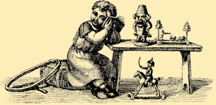
London: Sherwood & Co, No date. Also, A List of the Markets and Fairs, AND AN INDEX TABLE, Shewing, at one View, the Distances of all the Towns from London, and of the Towns from each other: The whole forming a complete County itinerary. Illustrated with Engravings, and a Map of the County. Hardcover. 180 pages. Black & white frontispiece and two plates; hand-coloured folding map. Half sheep, gilt over red cloth. Measures approximately 14.5 x 9 cm. New edition. Ownership inscriptions and small ownership label to front endpapers; some wear and soiling to cover; head of spine a little worn; slight foxing to frontispiece; else a very good copy.
Book ID: 8709
Print this page
Price:
£50.00
