

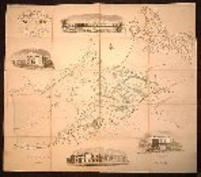

MAP OF TUNBRIDGE WELLS, in the County of Kent, with the improvements, on the Calverley Estate, 1838.
London.J. Henshall. 1838. An engraved sheet, divided into sixteen and mounted on linen; the map portion hand-coloured.; the four vignettes uncoloured. Map size: height: 56 x width: 63 cm's. Map folds into the original gilt-titled slipcase. Slight blotching of the covers; slight fading to the slipcase; else an excellent, fresh copy.
Book ID: 6018
Print this page
Price:
£350.00