


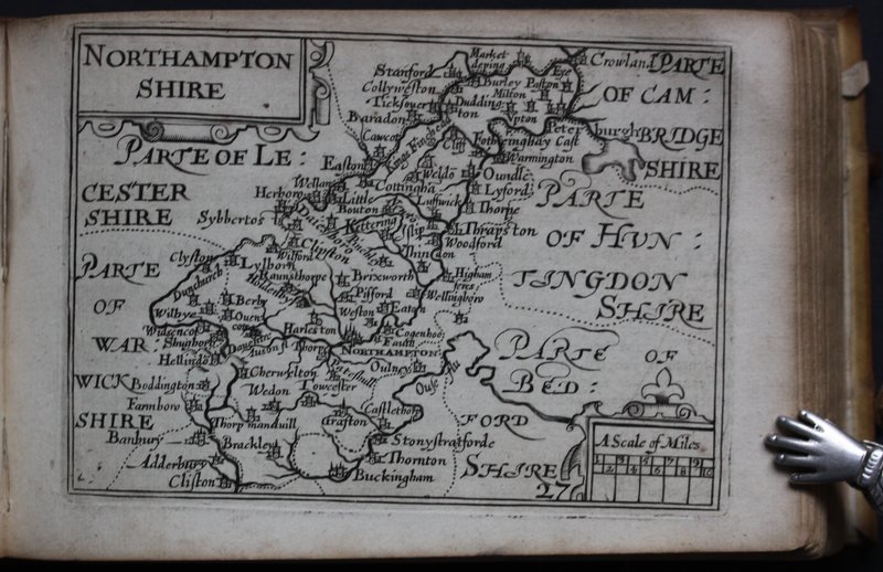
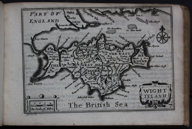
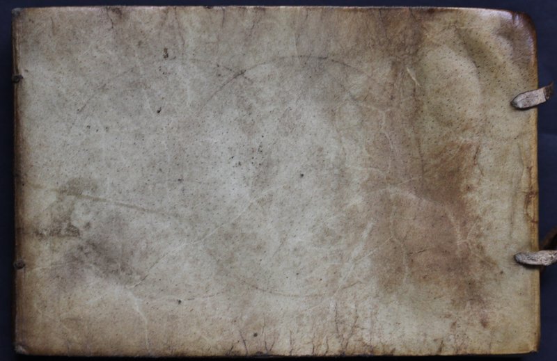
England Wales Scotland and Ireland Described and Abridged with ye Historic Relation of things worthy memory from a farr Larger Voloume Done by John Speed.
[London.]: Georg Humble at ye Whit horse in popeshead Alley, 1627, but circa 1632. [376] pages. Engraved title; engraved ‘Catalogue,’ and 63 maps. Contemporary full vellum; ties broken. Titled in ink on spine, ‘Livre de Comosgraphie.’ Oblong: 104 x 156 mm. Contemporary notes to endpapers; some loss to endpapers; title trimmed at lower edge; else an excellent copy of this miniature atlas with all maps present and without loss. The Index call for a sixty-fourth map, ‘Midia,’ but this was never issued in this edition. Second miniature edition of Speed's atlas of Great Britain and Ireland, following the edition of 1620. The ‘farr larger Voulume Done by John Speed’ refers to the Theatre of the Empire of Great Britaine (1611), issued in folio. Thomas Chubb explains that for the first miniature edition of 1620 ‘forty [of the maps] are reprints of Peter Keer's maps of 1599 issued at Amsterdam in 1617 [for William Camden's Viri clarissimi Britannia]. Sixteen are newly engraved maps of some of the English counties which, in the earlier editions of 1599 and 1617, were grouped together, seven are additional maps.’